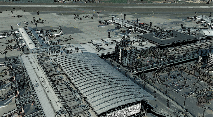
LASERSCANNING
We can plan and use our own equipment for aerial and terrestrial laser scanning, including scanning from mobile mapping facilities.
We are able to correctly place laser point clouds in the geospace and prepare them for further processing (e.g., 3D mapping), or do the mapping for you ourselves.
LET'S STAY IN TOUCH
We’re here to provide you with individual and professional services tailored to your needs. Don’t hesitate to contact us by phone, email, or visit us in person.