

For renewed flight operations, we are looking for a professional pilot with SEP and MEP qualifications for a full-time position, as well as a future Head...

The company is registered in the Commercial Register maintained by the Regional Court in Brno, Section C, Insert 81169, since December 5, 2013
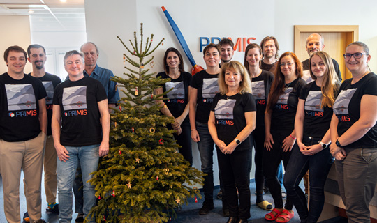
About PRIMIS
LET'S STAY IN TOUCH
Slavíčkova 827/1a
638 00 Brno
Czech Republic
Company ID: 02402718
VAT ID: CZ02402718
+420 534 008 769